Tag Archive for: EIM

Locus at 25 Years: Locus EIM and the Triumph of the SaaS Model
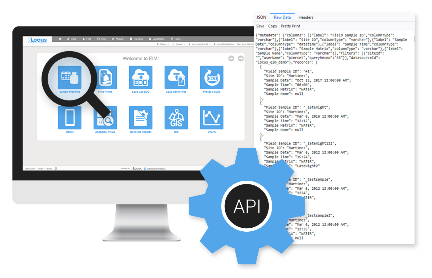
Locus EIM

How did Locus succeed in deploying Internet-based products and services in the environmental data sector? After several years of building and testing its first web-based systems (EIM) in the late 1990s, Locus began to market its product to organizations seeking to replace their home-grown and silo systems with a more centralized, user-friendly approach. Such companies were typically looking for strategies that eliminated their need to deploy hated and costly version updates while at the same time improving data access and delivering significant savings.

Several companies immediately saw the benefit of EIM and became early adopters of Locus’s innovative technology. Most of these companies still use EIM and are close to their 20th anniversary as a Locus client. For many years after these early adoptions, Locus enjoyed steady but not explosive growth in EIM usage.

Triumph of the SaaS Model

E. M. Roger’s Diffusion of Innovation (DOI) Theory has much to offer in explaining the pattern of growth in EIM’s adoption. In the early years of innovative and disruptive technology, a few companies are what he labels innovators and early adopters. These are ones, small in number, that are willing to take a risk, that is aware of the need to make a change, and that are comfortable in adopting innovative ideas. The vast majority, according to Rogers, do not fall into one of these categories. Instead, they fall into one of the following groups: early majority, late majority, and laggards. As the adoption rate grows, there is a point at which innovation reaches critical mass. In his 1991 book “Crossing the Chasm,” Geoffrey Moore theorizes that this point lies at the boundary between the early adopters and the early majority. This tipping point between niche appeal and mass (self-sustained) adoption is simply known as “the chasm.”

Rogers identifies the following factors that influence the adoption of an innovation:

  1. Relative Advantage – The degree to which an innovation is seen as better than the idea, program, or product it replaces.
  2. Compatibility – How consistent the innovation is with the potential adopters’ values, experiences, and needs.
  3. Complexity – How difficult innovation is to understand and use.
  4. Trialability –  The extent to which the innovation can be tested or experimented with before a commitment to adoption.
  5. Observability – The extent to which the innovation provides tangible results.

In its early years of marketing EIM, some of these factors probably considered whether EIM was accepted or not by potential clients. Our early adopters were fed up with their data stored in various incompatible silo systems to which only a few had access. They appreciated EIM’s organization, the lack of need to manage updates, and the ability to test the design on the web using a demonstration database that Locus had set up. When no sale could be made, other factors not listed by Rogers or Moore were often involved. In several cases, organizations looking to replace their environmental software had budgets for the initial purchase or licensing of a system but had insufficient monies allocated for recurring costs, as with Locus’s subscription model. One such client was so enamored with EIM that it asked if it could have the system for free after the first year. Another hurdle that Locus came up against was the unwillingness of clients at the user level to adopt an approach that could eliminate their co-workers’ jobs in their IT departments. But the most significant barriers that Locus came up against revolved around organizations’ security concerns regarding the placement of their data in the cloud.

LocusFocus

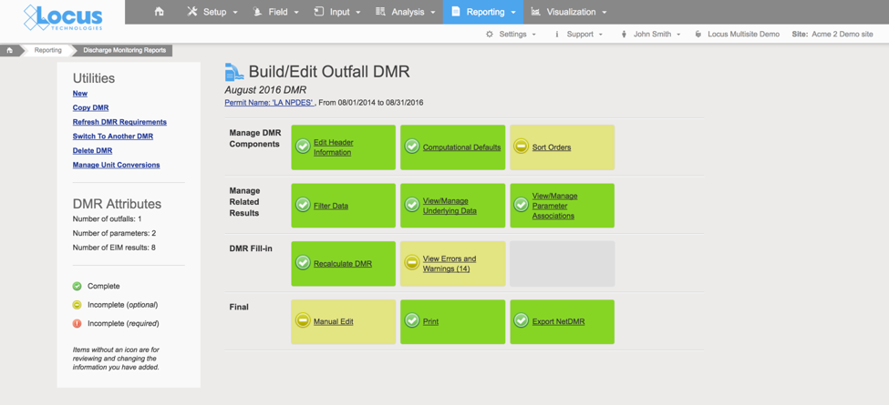
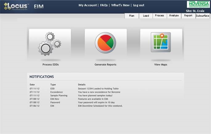
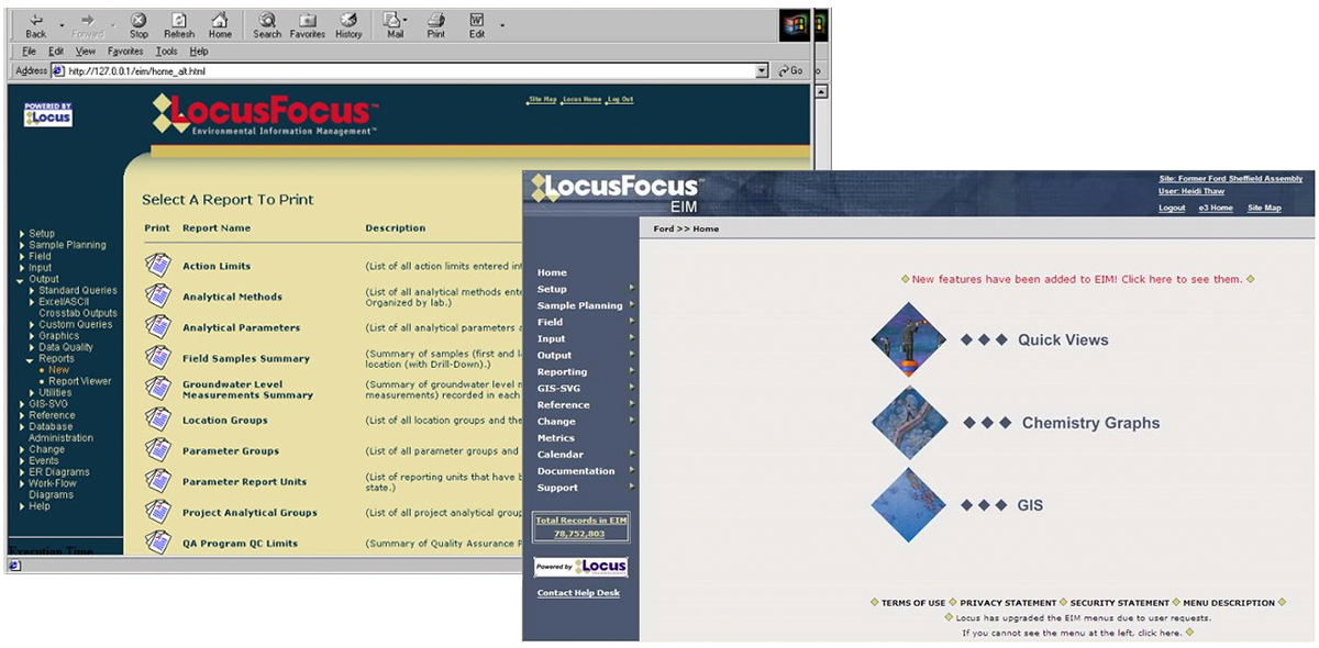
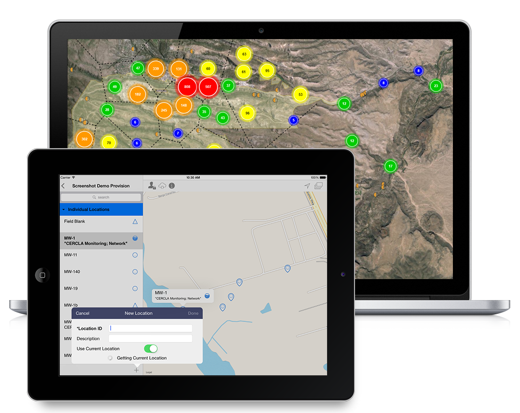
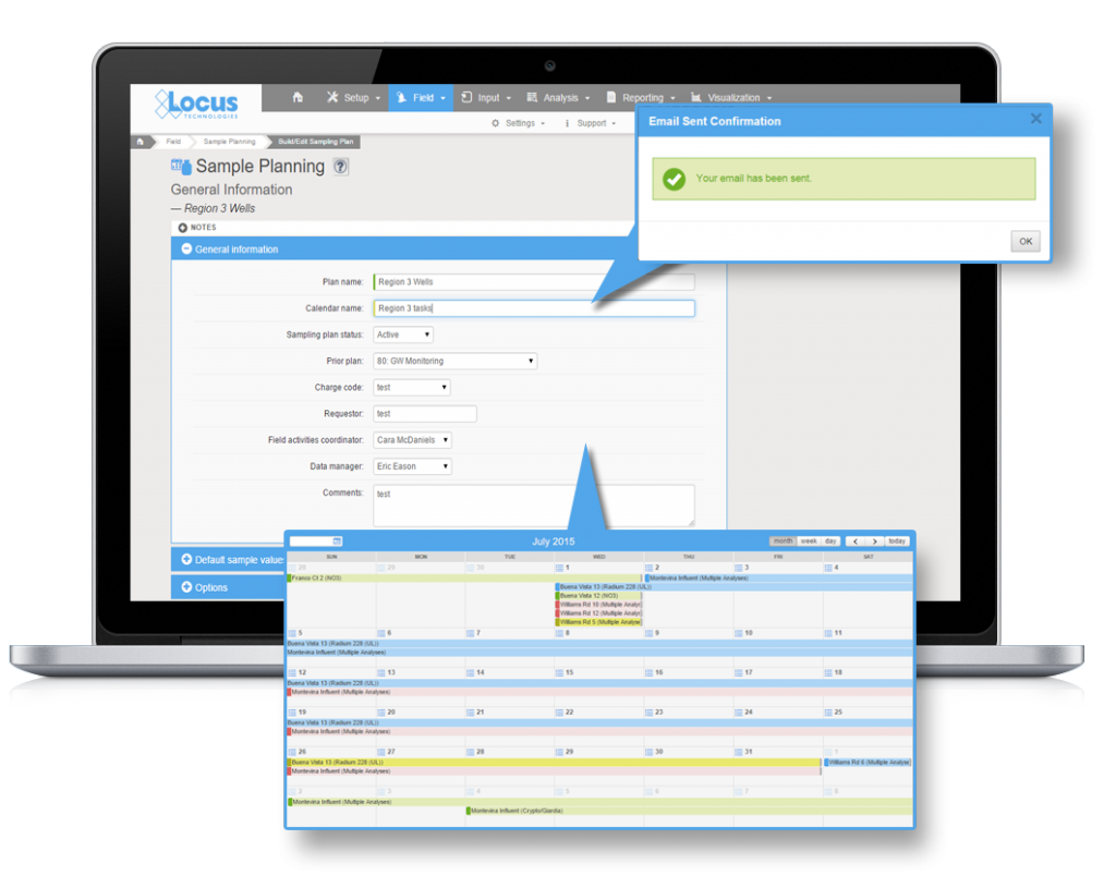
One of the earliest versions of EIM

Oh, how so much has changed in the intervening years! The RFPs that Locus receives these days explicitly call out for a web-based system or, much less often, express no preference for a web-based or client-server system. We believe this change in attitudes toward SaaS applications has many root causes. Individuals now routinely do their banking over the web. They store their files in Dropbox and their photos on sites like Google Photos or Apple and Amazon Clouds. They freely allow vendors to store their credit card information in the cloud to avoid entering this information anew every time they visit a site. No one who keeps track of developments in the IT world can be oblivious to the explosive growth of Amazon Web Services (AWS), Salesforce, and Microsoft’s Azure. We believe most people now have more faith in the storage and backup of their files on the web than if they were to assume these tasks independently.

Locus EIM

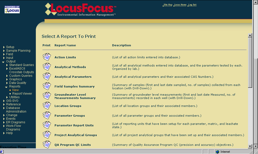
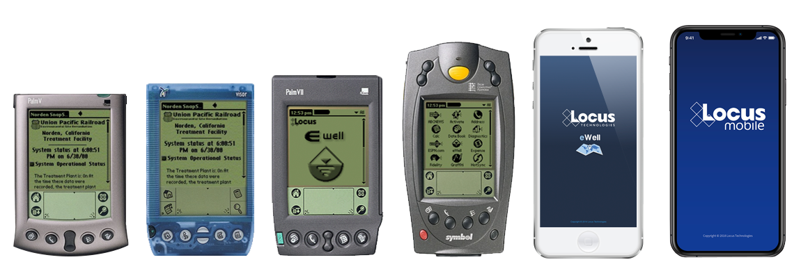
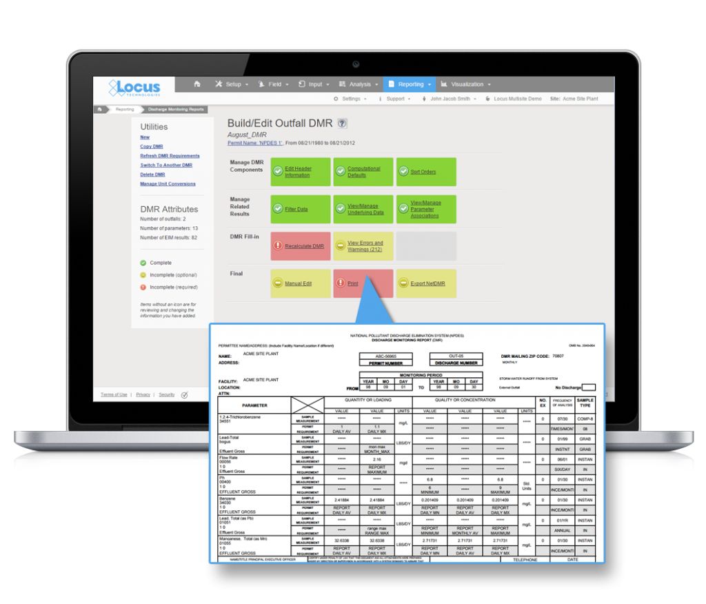
An early update to EIM software

Changes have also occurred in the attitudes of IT departments. The adoption of SaaS applications removes the need to perform system updates or the installation of new versions on local computers. Instead, for systems like EIM, updates only need to be completed by the vendor, and these take place at off-hours or at announced times. This saves money and eliminates headaches. A particularly nasty aspect of local, client-server systems is the often experienced nightmare when installing an updated version of one application causes failures in others that are called by this application. None of these problems typically occur with SaaS applications. In the case of EIM, all third-party applications used by it run in the cloud and are well tested by Locus before these updates go live.

Locus EIM

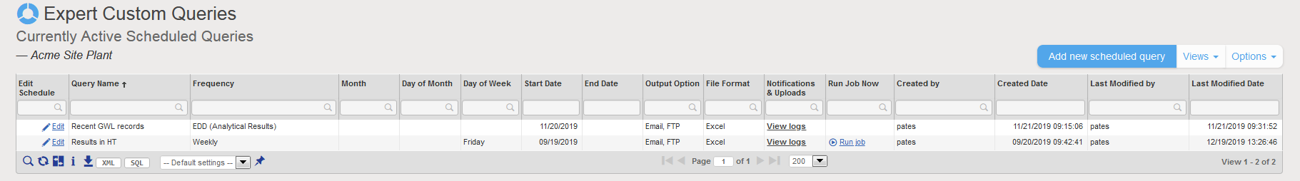
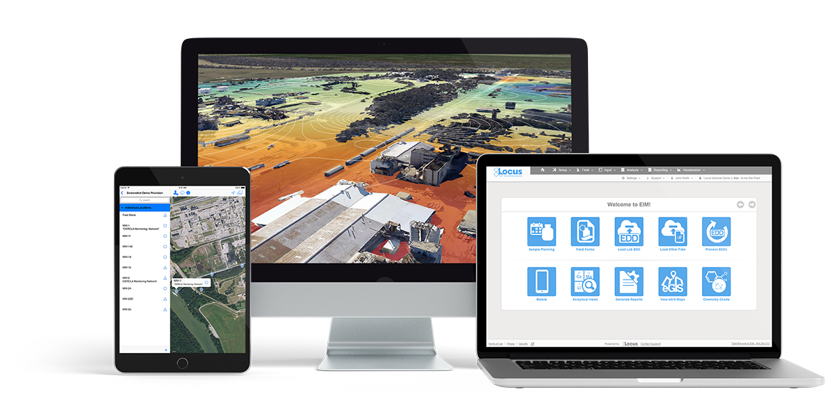
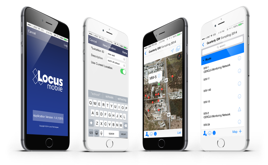
Locus EIM continues to become more streamlined and user friendly over the years.

Yet another factor has driven potential clients in the direction of SaaS applications, namely, search. Initially, Locus was primarily focused on developing software tools for environmental cleanups, monitoring, and mitigation efforts. Such efforts typically involved (1) tracking vast amounts of data to demonstrate progress in the cleanup of dangerous substances at a site and (2) the increased automation of data checking and reporting to regulatory agencies.

Locus EIM

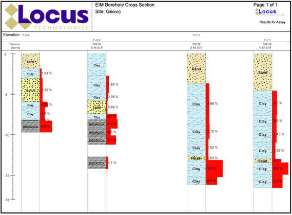
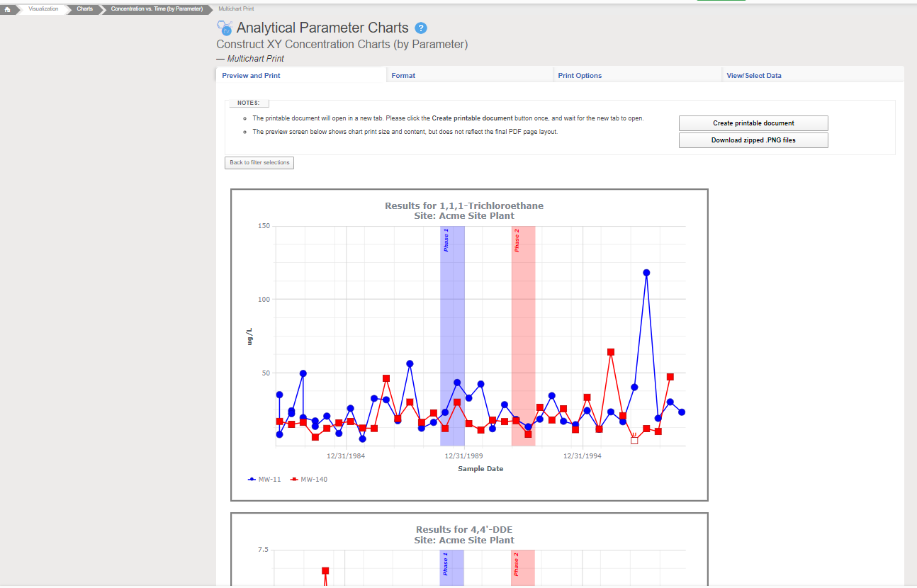
Locus EIM handles all types of environmental data.

Before systems like EIM were introduced, most data tracking relied on inefficient spreadsheets and other manual processes. Once a mitigation project was completed, the data collected by the investigative and remediation firms remained scattered and stored in their files, spreadsheets, or local databases. In essence, the data was buried away and was not used or available to assess the impacts of future mitigation efforts and activities or to reduce ongoing operational costs. Potential opportunities to avoid additional sampling and collection of similar data were likely hidden amongst these early data “storehouses,” yet few were aware of this. The result was that no data mining was taking place or possible.
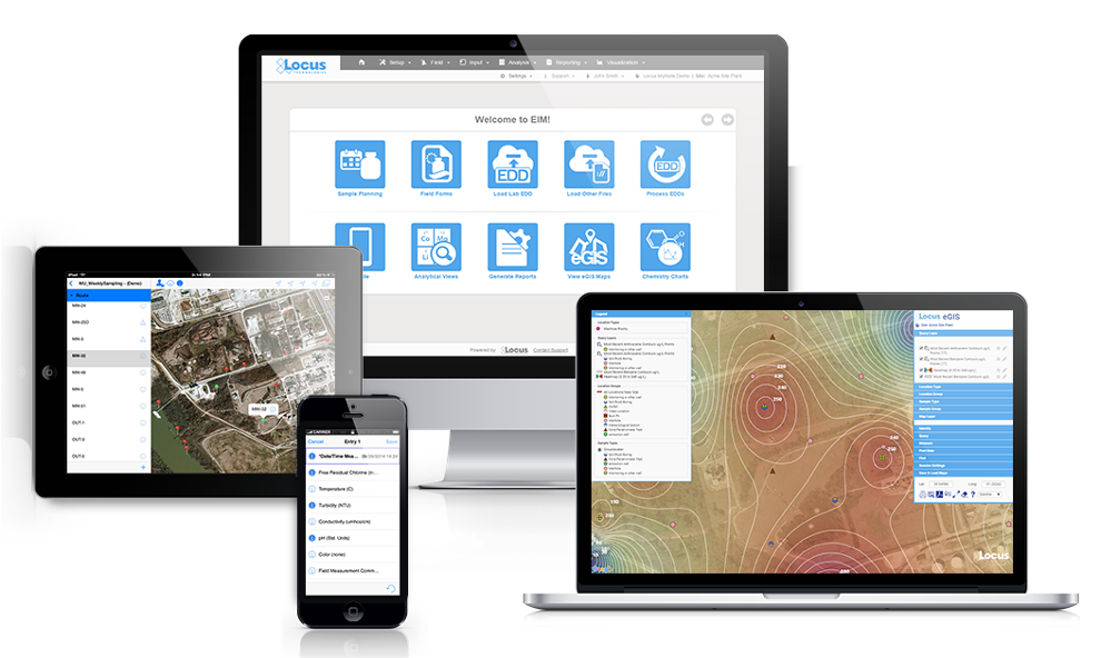
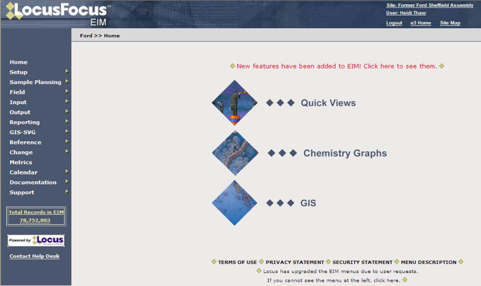
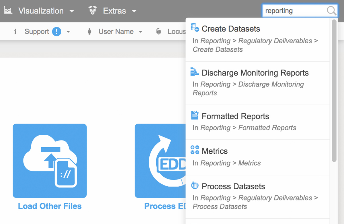
Locus EIM in 2022

Locus EIM in 2022

The early development of EIM took place while searches on Google were relatively infrequent (see years 1999-2003 below). Currently, Google processes 3.5 billion searches a day and 1.2 trillion searches per year. Before web-based searches became possible, companies that hired consulting firms to manage their environmental data had to submit a request such as “Tell me the historical concentrations of Benzene from 1990 to the most recent sampling date in Wells MW-1 through MW-10.” An employee at the firm would then have to locate and review a report or spreadsheet or perform a search for the requested data if the firm had its database. The results would then be transmitted to the company in some manner. Such a request need not necessarily come from the company but perhaps from another consulting firm with unique expertise. These search and retrieval activities translated into prohibitive costs and delays for the company that owned the site.

Google Search Growth

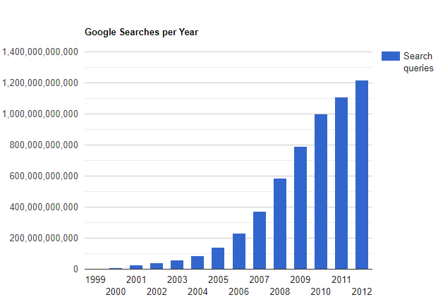
Google Searches by Year

Over the last few decades, everyone has become dependent on and addicted to web searching. Site managers expect to be able to perform their searches, but honestly, these are less frequent than we would have expected. What has changed are managers’ expectations. They hope to get responses to requests like those we have imagined above in a matter of minutes or hours, not days. They may not even expect a bill for such work. The bottom line is that the power of search on the web predisposes many companies to prefer to store their data in the cloud rather than on a spreadsheet or in their consultant’s local, inaccessible system.

The world has changed since EIM was first deployed, and as such, many more applications are now on the path, that Locus embarked on some 20 years ago. Today, Locus is the world leader in managing on-demand environmental information. Few potential customers question the merits of Locus’s approach and its built systems. In short, the software world has caught up with Locus. EIM and LP have revolutionized how environmental data is stored, accessed, managed, and reported. Locus’ SaaS applications have long been ahead of the curve in helping private, and public organizations manage their environmental data and turn their environmental data management into a competitive advantage in their operating models.

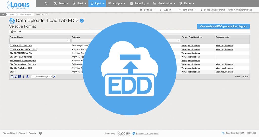
We refer to the competitive advantages of improved data quality and flow and lower operating costs. EIM’s Electronic Data Deliverable (EDD) module allows for the upload of thousands of laboratory results in a few minutes. Over 60 automated checks are performed on each reported result. Comprehensive studies conducted by two of our larger clients show savings in the millions gained from the adoption of EIM’s electronic data verification and validation modules and the ability of labs to load their EDDs directly into a staging area in the system. The use of such tools reduces much of the tedium of manual data checking and, at the same time, results both in the elimination of manually introduced errors and the reduction of throughput times (from sampling to data reporting and analysis). In short, the adoption of our systems has become a win-win for companies and their data managers alike.


This is the second post highlighting the evolution of Locus Technologies over the past 25 years. The first can be found here. This series continues with Locus at 25 Years: Locus Platform, Multitenant Architecture, the Secret of our Success.

Top 5 Usability Features in Locus EIM

Locus EIM is the leading cloud-based application for managing and reporting environmental data. We have highlighted 5 key usability features that allow users to get the most out of their investment.

Quicker Data Searching with Natural Language Processing

The recent year of lockdowns pushed many daily activities into the virtual world. Work, school, commerce, the arts, and even medicine have moved online and into the cloud. As a result, considerably more resources and information are now available from an internet browser or from an application on a handheld device. To navigate through all this content and make sense of it, you need the ability to quickly search and get results that are most relevant to your needs.

You can think of the web as a big database in the cloud. Traditionally, database searches were done using a precise syntax with a standard set of keywords and rules, and it can be hard for non-specialists to perform such searches without learning programming languages. Instead, you want to search in as natural a matter as possible. For example, if you want to find pizza shops with 15 miles of your house that offer delivery, you don’t want to write some fancy statement like “return pizza_shop_name where (distance to pizza shop from my house < 15 miles) and (offers_delivery is true). You just want to type “what pizza shops within 15 miles of my house offer delivery?” How can this be done?

Search Engines

Enter the search engine. While online search engines appeared as early as 1990, it wasn’t until Yahoo! Search appeared in 1995 that their usage became widespread. Other engines such as Magellan, Lycos, Infoseek, Ask Jeeves, and Excite soon followed, though not all of them survived. In 1998, Google hit the internet, and it is now the most dominant engine in use. Other popular engines today are Bing, Baidu, and DuckDuckGo.

Current search engines compare your search terms to proprietary indexes of web page and their content. Algorithms are used to determine the most relevant parts of the search terms and how the results are ranked on the page. Your search success depends on what search terms you enter (and what terms you don’t enter). For example, it is better to search on ‘pizza nearby delivery’ than ‘what pizza shops that deliver are near my house’, as the first search uses less terms and thus more effectively narrows the results.

Search engines also support the use of symbols (such as hyphens, colons, quote marks) and commands (such as ‘related’, ‘site’, or ‘link’) that support advanced searches for finding exact word matches, excluding certain results, or limiting your search to certain sites. To expand on the pizza example, support you wanted to search for nearby pizza shops, but you don’t want to include Nogud Pizza Joints because they always put pineapple on your pizza. You would need to enter ‘pizza nearby delivery -nogud’. In some ways, with the need to know special syntax, searching is back where it was in the old database days!

Search engines are also a key part of ‘digital personal assistants’, or programs that not only perform searches but also perform simple tasks. An assistant on your phone might call the closest pizza shop so you can place an order, or perhaps even login to your loyalty app and place the order for you. There is a dizzying array of such assistants used within various devices and applications, and they all seem to have soothing names such as Siri, Alexa, Erica, and Bixby. Many of these assistants support voice activation, which just reinforces the need for natural searches. You don’t want to have to say “pizza nearby delivery minus nogud”! You just want to say “call the nearest pizza shop that does delivery, but don’t call Nogud Pizza”.

Search engine and digital personal assistant developers are working towards supporting such “natural” requests by implementing “natural language processing”. Using natural language processing, you can use full sentences with common words instead of having to remember keywords or symbols. It’s like having a conversation as opposed to doing programming. Natural language is more intuitive and can help users with poor search strategies to have more successful searches.

Furthermore, some engines and assistants have artificial intelligence (AI) built in to help guide the user if the search is not clear or if the results need further refinement. What if the closest pizza shop that does delivery is closed? Or what if a slightly farther pizza place is running a two-for-one special on your favorite pizza? The built-in AI could suggest choices to you based on your search parameters combined with your past pizza purchasing history, which would be available based on your phone call or credit charge history.

Searching in Locus EIM

The Locus team recently expanded the functionality of the EIM (Environmental Information Management) search bar to support different types of data searches. If a search term fits several search types, all are returned for the user to review.Locus EIM Quick Search

  • Functionality searches: entering a word that appears in a menu or function name will return any matching menu items and functions. For example, searching for ‘regulatory exports’ returns several menu items for creating, managing, and exporting regulatory datasets.
  • Help searches: entering a word or phrase that appears in the EIM help files will return any matching help pages. For example, ‘print a COC’ returns help pages with that exact phrase.
  • Data searches: entering a location, parameter, field parameter, or field sample will return any matching data records linked with that entity. For example, searching for the parameter ‘tritium’ returns linked pages showing parameter information and all field sample results for that parameter. Searching for the location ‘MW-1’ returns linked pages showing all field samples, groundwater levels, field measurements, and field sample results at the location.

EIM lets the user perform successful searches through various methods. In all searches, the user does not need to specify if the search term is a menu item, help page, or data entity such as parameter or location. Rather, the search bar determines the most relevant results based on the data currently in EIM. Furthermore, the search bar remembers what users searched for before, and then ranks the results based on that history. If a user always goes to a page of groundwater levels when searching for location ‘MW-1’, then that page will be returned first in the list of results. Also, the EIM search bar supports common synonyms. For example, searches for ‘plot’, ‘chart’, and ‘graph’ all return results for EIM’s charting package.

Locus EIM Chart Search

By implementing the assistance methods described above, Locus is working to make searching as easy as possible. As part of that effort, Locus is working to add natural language processing into EIM searches. The goal is to let users conduct searches such as ‘what wells at my site have benzene exceedances’ or perform tasks such as ‘make a chart of benzene results’ without having to know special commands or query languages.’

How would this be done? Let’s set aside for now the issues of speech recognition – sadly, you won’t be talking to EIM soon! Assume your search query is ‘what is the maximum lead result for well 1A?’

  • First, EIM extracts key terms and modifiers (this is called entity recognition). EIM would extract ‘maximum’, ‘lead’, ‘result’, ‘well’, and ‘1A’, while ignoring connecting words such as ‘the’ or ‘for’.
  • Then, EIM categorizes these terms. EIM would be ‘trained’ via AI to know ‘lead’ is mostly used in environmental data as a noun for the chemical parameter, and not a verb. ‘Result’ refers to a lab result, and ‘well’ is a standard sampling location type.
  • EIM then runs a simple query and gets the maximum lead result for location 1A.
  • Finally, EIM puts the answer into a sentence (‘The maximum lead result at location 1A is 300 mg/L on 1/1/2020’) with any other information deemed useful, such as the units and the date.

A similar process could be done for tasks such as ‘make a chart of xylene results’. In this case, however, there is too much ambiguity to proceed, so EIM would need to return queries for additional clarifications to help guide the user to the desired result. Should the chart show all dates, or just a certain date range? How are non-detects handled? Which locations should be shown on the chart? What if the database stores separate results for o-Xylene, m,p-Xylene, plus Xylene (total)? Once all questions were answered, EIM could generate a chart and return it to the user.

Locus EIM Search Results

Natural language is the key to helping users construct effective searches for data, whether in EIM, on a phone, or in the internet. Locus continues to improve EIM by bringing natural language processing to the EIM search engine.


About the Author—Dr. Todd Pierce, Locus Technologies

Dr. Pierce manages a team of programmers tasked with development and implementation of Locus’ EIM application, which lets users manage their environmental data in the cloud using Software-as-a-Service technology. Dr. Pierce is also directly responsible for research and development of Locus’ GIS (geographic information systems) and visualization tools for mapping analytical and subsurface data. Dr. Pierce earned his GIS Professional (GISP) certification in 2010.

How to Prepare for EPA’s Latest UCMR 5 Guidelines

Attention all water providers: the EPA’s UCMR 5 list includes 30 contaminants (29 PFAS and lithium) that both small and large water systems have to test for and report. Can your current environmental solution handle it?

Locus EIM environmental software can handle new chemicals and analyses seamlessly. Both the standard Locus EIM configuration and the Locus EIM Water configuration (specially tailored to water utilities) are built with ever-changing regulations in mind.

We’ve put together some helpful background and tips for water providers preparing for UCMR 5 monitoring.

What water providers need to know

  • The fifth and latest list (UCMR 5) was published on March 11, 2021, and includes 30 new chemical contaminants that must be monitored between 2023 and 2025 using specified analytical methods.
  • SDWA now requires that UCMR include all large PWSs (serving >10,000 people), all PWSs serving between 3,300 and 10,000 people, and a representative sample of PWSs serving fewer than 3,300 people.
  • Large systems must pay for their own testing, and US EPA will pay for analytical costs for small systems.
  • Labs must receive EPA UCMR approval to conduct analyses on UCMR 5 contaminants.

EPA UCMR 5 Infographic

Download Infographic

What’s the UCMR and why are some contaminants unregulated?

In 1996, Congress amended the Safe Drinking Water Act with the Unregulated Contaminant Monitoring Rule (UCMR). Under this new rule, US EPA can require water providers to monitor and collect data for contaminants that may be in drinking water but don’t have any health-based standards set (yet) under the SDWA.

More than 150,000 public water systems are subject to the SDWA regulations. US EPA, states, tribes, water systems, and the public all work together to protect the water supply from an ever-growing list of contaminants.

However, under the UCMR, US EPA is restricted to issuing a new list every five years of no more than 30 unregulated contaminants to be monitored by water providers.

This helps reduce the burden on water providers, since monitoring and testing for the existing long list of regulated contaminants already requires a significant investment of time and resources.

Throughout the course of this monitoring, US EPA can determine whether the contaminants need to be officially enforced— but this would require regulatory action, routed through the normal legislative process.

Tips for managing UCMR in Locus EIM logo

  • DO use EIM’s Sample Planning module to set your sample collection schedule ahead of time, as requirements vary and are on specific schedules
  • DO take advantage of EIM’s sample program features to track and manage UCMR data, or consider using a dedicated location group to track results, keeping them separate and easy to find for CCR reporting.
  • DON’T worry about adding in new analytical parameters in advance. With EIM’s EDD loader, you can automatically add them when the data arrive from the laboratory.

Contact your Locus Account Manager for help setting up your EIM database in advance of your sampling schedule, and we’ll make sure you’re equipped for UCMR 5!

Not yet a customer? Send us a quick note to schedule a call or a demo to find out how Locus software can completely streamline your water sampling and reporting.


More helpful links:


5 Powerful Features of Locus Environmental Software

Maybe you are a user of Locus’ Environmental Software (EIM) and are looking to get more out of our product. Or perhaps you are using another company’s software platform and looking to make a switch to Locus’ award-winning solution. Either way, there are some features that you may not know exist, as Locus software is always evolving by adding more functionality for a range of customer needs. Here are five features of our environmental software that you may not know about:

1. APIs for Queries

Locus expanded the EIM application programming interface (API) to support running any EIM Expert Query. Using a drag and drop interface, an EIM user can create an Expert Query to construct a custom SQL query that returns data from any EIM data table. The user can then call the Expert Query through the API from a web browser or any application that can consume a REST API. The API returns the results in JSON format for download or use in another program. EIM power users will find the expanded API extremely useful for generating custom data reports and for bringing EIM data into other applications.

Locus EIM API

2. Scheduled Queries for Expert Query Tool

The Expert Query Builder lets users schedule their custom queries to run at given times with output provided in an FTP folder or email attachment. Users can view generated files through the scheduler in a log grid, and configure notifications when queries are complete. Users can scheduled queries to run on a daily, weekly, monthly, or yearly basis, or to run after an electronic data deliverable (EDD) of a specified format is loaded to EIM. Best of all, these queries can be instantly ran and configured from the dashboard.

Scheduled Queries in Locus EIM

Scheduled Queries in Locus EIM

3. Chart Formatting

Multiple charts can be created in EIM at one time. Charts can then be formatted using the Format tab. Formatting can include the ability to add milestone lines and shaded date ranges for specific dates on the x axis. The user can also change font, legend location, line colors, marker sizes and types, date formats, legend text, axis labels, grid line intervals or background colors. In addition, users can choose to display lab qualifiers next to non-detects, show non-detects as white filled points, show results next to data points, add footnotes, change the y-axis to log scale, and more. All of the format options can be saved as a chart style set and applied to sets of charts when they are created.

Chart Formatting in Locus EIM

Chart Formatting in Locus EIM

4. Quick Search

To help customers find the correct EIM menu function, Locus added a search box at the top right of EIM. The search box returns any menu items that match the user’s entered search term.

Locus EIM Quick Search

Locus EIM Quick Search

5. Data Callouts in Locus’ Premium GIS Software

When the user runs the template for a specific set of locations, EIM displays the callouts in Locus’ premium GIS software, GIS+, as a set of draggable boxes. The user can finalize the callouts in the GIS+ print view and then send the resulting map to a printer or export the map to a PDF file.

Locus GIS+ Data Callouts

Locus GIS+ Data Callouts


Then and Now: Locus Environmental Information Management

Locus Environmental Information Management

Locus was founded on the vision of online environmental data management for large volumes of complex data collected as part of environmental site investigations. Locus’ Environmental Information Management (EIM) has remained the market leader in cloud environmental data management systems for over 20 years. EIM continues to evolve to meet an ever-wider customer base from international chemical companies to local water districts. Locus has approached EIM’s evolution with the same focus since day 1, handle any type of environmental data with ease and sophistication, enabling our customers to spend less time handling data and more time assessing information.

Locus EIM Then:

Locus EIM | Then and Now

Locus EIM Now:

Locus EIM Devices


GIS Mapping

Since Google Maps was first announced, Locus worked to add GIS elements to our software as soon as it was technically feasible. Our easy-to-use visualization tools have evolved over the years from Scalable Vector Graphics, to Google, to Esri ArcGIS Online. Born with our EIM software, GIS visualization of information was something our customers wanted and loved.  Always included in our pricing, having the ability to easily make maps from complex data was always a key feature of EIM. With technical advances, our maps are even more robust and integral to our vision of environmental information management.​

Locus eGIS Then:

Screenshot of GIS Site Search for EPA data

Locus GIS+ Now:Environmental data management software screenshot of Locus GIS application with mobile app for sampling locations


Locus Mobile

In 2000, Locus launched the first environmental data management mobile solution connected to SaaS. 20 years later, Locus Mobile is your single solution for collecting field data, completing EHS audits, tracking waste containers, and much more. Easily configure business-specific data collection needs, enter data offline and synchronize data back to the cloud for final review.

Locus Mobile (eWell) Then and Now:

Locus Mobile | Then and Now


Locus has evolved and innovated SaaS solutions to meet the needs of our EHS and Water Quality customers for over 20 years. As technology and regulatory requirements change, rest assured Locus is working hard so that your organization can be ahead of the curve.

Learn more about Locus EIM.

5 tools to get more EHS tasks done with less staff

EHS software can be a boon or a bane of your life at work. Here are the 5 time- saving tools Locus’s EIM provides that can be the difference between the former versus the latter.


1. Mobile

Do you enter field data onto a paper form, and then have to manually type it into a spreadsheet or database when you get back to the office?  Or have you ever been in the field and entered data into your remote mobile device and have lost the data due to the lack of internet signal? Locus’ Mobile application allows you to sync with your server to create data collection profiles on a mobile device, whether it’s your phone or a tablet. This application will allow you to click through and enter data on the device and store the data, even when you are offline. As a result, data only need to be entered once on your device, and then they are seamlessly loaded into your  cloud-hosted solution.

Using Mobile you have data entry directly on the mobile device, with immediate data availability on the cloud when you reach an internet signal. Other advantages include location metadata and mapping integration, bar-code/or code scanning, voice recognition and form customization. If you would like to know more, check out the Top 10 cool features in Locus Mobile.

Locus mobile environmental field data collection app for iOS

2. EDD Loader

With EIM’s electronic data deliverables (EDD) loader, you can upload and validate several thousand records within a minute. Laboratories are not required to use the same reporting format, yet the results will still end up at the same place in the database where sample data came from. Locus EIM also has a special lab interface so that your labs (with your permission) can upload their own EDDs. You no longer need to spend time receiving and processing EDD files from your lab. The labs simply log in directly, upload your reports, and they are immediately available to you.

EIM provides you access to popular features such as a planning module, forms for entering field data, a utility to upload EDDs, built-in mapping tools, and an extensive reporting and plotting module. It also has a calendar module for viewing information on sampling events and uploaded EDDs, automated exceedance notifications, and sophisticated statistical evaluation tools designed specifically for environmental data.

Locus EIM - EDD Loader


3. Sample planning

Setting up and implementing a complex sampling plan can be a time-consuming effort. Depending on the purpose and extent of the sampling plan, you may have dozens of analyses to complete at varying frequencies and locations.  You may also have multiple compliance programs with overlapping requirements.  EIM’s sample planning can save you valuable time and effort by assembling your requirements into a concise calendar, preprinting all of your chain of custody records and bottle labels, and tracking the collection of samples from the field to the lab.  As an added bonus, the automation of this process ensures you’ll never miss another required sample.

EIM screenshot of sample planning edit form with email notification and calendars popouts


4. Discharge Monitoring Reports

Locus’ EIM DMR tool solves the problem of time-consuming, labor-intensive, and expensive manual report generation by automating the data assembly, calculations, and formatting of Discharge Monitoring Reports.  Depending on the type of discharge and the regulatory jurisdiction, you may be required to report information such as analytical chemistry of pollutants, flow velocity, total maximum daily load, and other parameters. For companies that report from 100 to 1,000 facilities, producing a DMR also becomes a major expense.

Thanks to Locus’ DMR reporting tool, companies can generate DMRs within minutes with validated data in approved formats, with all of the calculations completed according to regulatory requirements. Companies can set up EIM for its permitted facilities and realize immediate cost and time savings during each reporting period.

DMR builder and report in EIM


5. Formatted Data Tables

For most environmental database systems, getting the right data out is just the first step in assembling your reports.  Comprehensive systems rarely store data in a format that is ready to submit to a regulatory agency or other party.  Typically, you have a labor-intensive process of restructuring, labelling, footnoting, formatting, and paginating the data into tables that can be readily interpreted. EIM’s formatted reporting tools allow you to set up any number of table formats with specific grouping, sorting, footnotes, headers, and other data processing steps.  Then you just select your data range, pick your format, and the table is ready to download or print directly from your web browser.  And if you make a mistake, the report can be instantly regenerated without any effort.

Locus EIM - Formatted Reports


Taking your environmental data to the next level with advanced integrated GIS features

In our last GIS blog, we covered some tips for choosing an integrated GIS/environmental data management system. Now let’s look at some more advanced features that may be appealing to a wide range of data managers and facility owners.

WM Symposia 2018 provided an excellent showcase for Locus GIS+ in LANL’s Intellus website

At the annual WM Symposia, representatives from many different DOE sites and contractors gather once a year and discuss cross-cutting technologies and approaches for managing the legacy waste from the DOE complex.  This year, Locus’ customer Los Alamos National Laboratory (LANL) was the featured laboratory.  During their presentation, they discussed Locus GIS+, which powers Intellus, their public-facing environmental monitoring database website.

If you haven’t been to LANL’s Intellus website recently, you are in for a surprise!  It was recently updated to better support casual users, and it features some of the best new tools Locus has to offer.  Locus reimagined the basic query engine and created a new “Quick search” to streamline data retrieval for casual users.  The guided “Quick search” simplifies data queries by stepping you through the filter selections for data sources, locations, dates, and parameters, providing context support at each step along the way.

Intellus - quick search
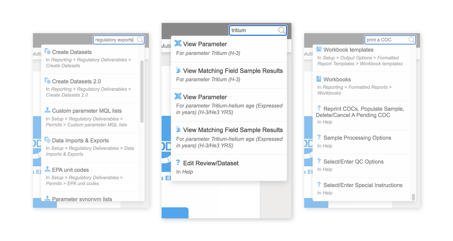
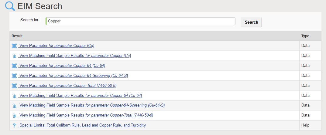
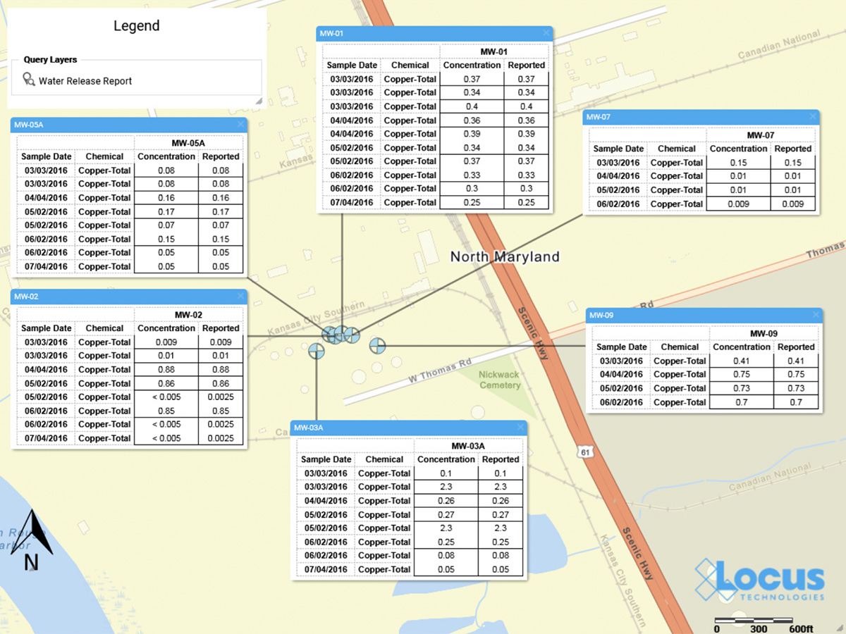
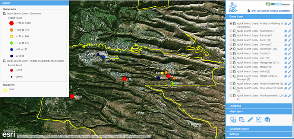
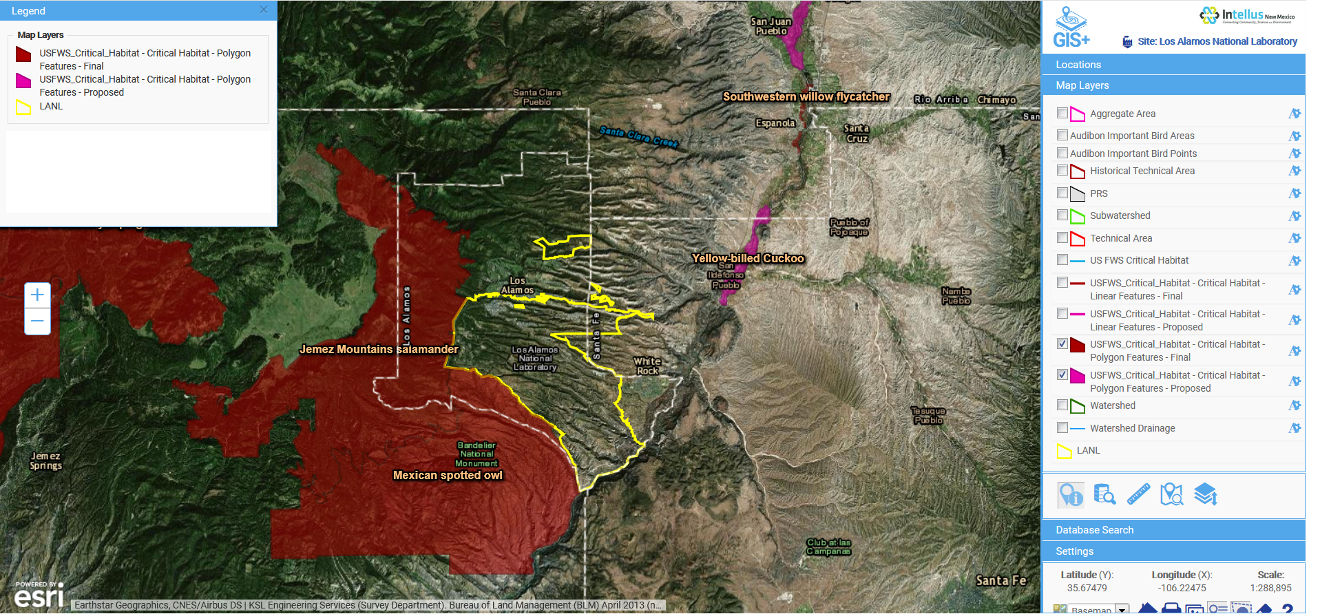
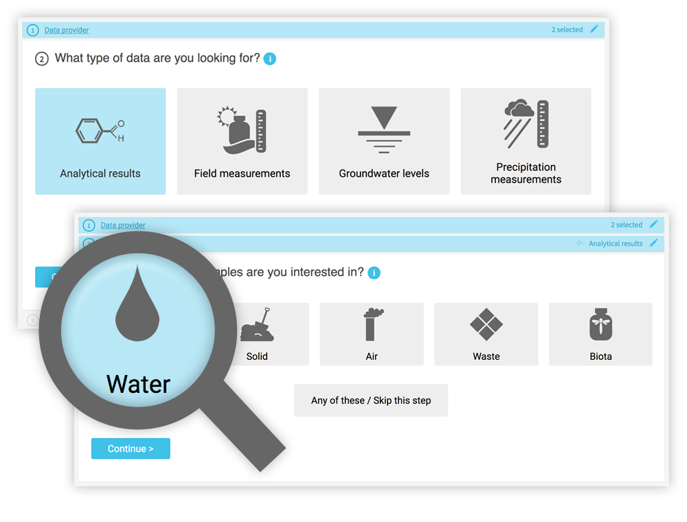
While a knowledgeable environmental scientist may be able to easily navigate a highly technical system, that same operation is bound to be far more difficult for a layperson interested in what chemicals are in their water.  Constructing the right query is not as simple as looking for a chemical in water—it really matters what type of water you want to look within.  On the Intellus website (showing the environmental data from the LANL site), there are 16 different types of water (not including “water levels”).  Using the latest web technologies and our domain expertise, Locus created a much easier way to get to the data of interest.

Just querying data is not necessarily the most intuitive activity to gain insights.  Locus integrated our new GIS+ visualization engine to allow users to instantly see all the data they just queried in detailed, context-rich maps.

Intellus GIS+ Map

Intellus GIS+ map showing “Quick search” query results for chromium levels in the LANL area

Instead of a dense data grid, GIS+ gives users an instant visual representation of the issue, enabling them to quickly spot the source of the chemicals and review the data in the context of the environmental locations and site activities.  Most importantly for Intellus users, this type of detailed map requires no GIS expertise and is automatically created based on your query.  This directly supports Intellus’ mission to provide transparency into LANL’s environmental monitoring and sampling activities.

GIS+ also allows users (albeit with a bit more experience in GIS mapping) to integrate maps from a wide range of online sources to provide even more insight to the available data.  In the example below, we overlaid the publicly-available US Fish and Wildlife critical habitat maps with data from the LANL site to show the relationship of the site to critical habitats.  This type of sophisticated analysis is the future of online GIS.  Locus takes full advantage of these opportunities to visualize and integrate data from varying sources with our GIS+ tools, made simple for users and integrated with ArcGIS Online by Esri.

Intellus GIS+ Map

Intellus GIS+ map showing imported layers of US Fish and Wildlife critical habitats in relation to LANL environmental sampling data

WM 2018 - Sean and Nita

Overall, Locus is very proud of our cross-cutting environmental information management tools.  We were one of many WM18 attendees enjoying LANL’s presentation and getting even more ideas from the audience on the next steps for better environmental visualization.

View a copy of the presentation.

Top 10 cool features in EIM (that you probably didn’t know about)

1. “Show locations on map” from a grid

In many locations in EIM, you can make a map directly from your query results. Click on the “folded map” icon on a results grid anywhere in EIM to open the GIS application, where you can then view and save your results as a map query layer.

So if you’re looking at TCE in specific locations, you can quickly map them and see what other parameters are present.

Locus EIM - Show locations on map


2. Save custom grid configurations

When you see a pushpin icon below a grid, that means you can name and save your current configuration in the grid, including column visibility, column order, sorting, and column width.

So if you use certain grids all the time, and prefer to view the data in a specific way, just click the pushpin and save your configuration for future use.

Locus EIM - Save custom grid


3. Save and share maps and reports on the dashboard

You can share saved maps and formatted reports with your colleagues and team members on the Project Manager Console dashboard. Saved maps and quick reports will show up under the sections “Quick Reports” and “Quick Maps”.

See Tip #4 to learn how to make this dashboard your default homepage.

Locus EIM - Save and share maps


4. Set your homepage and your preferred default grid row count

EIM user options includes some very cool features. You can access your user options from the EIM menu: just click [your username] > Manage Profile.

Here, you can set your preferred homepage, enable filter options for easier login, and— our favorite— the option to adjust the default number of records to display in all EIM grids (20 is just never enough!)

Locus EIM - Set your homepage


5. Lab Invoice Tracking

Full invoice tracking down to the parameter delivered level, to help you confirm that the lab gave you what you ordered, and that they’re charging you for exactly what they gave you.

You can find these forms at Input > Analytical > Lab Invoices.

Locus EIM - Lab invoice tracking


6. Simple or complex query building in a drag-and-drop interface

For users wanting to go beyond the standard “out-of-the-box” queries, EIM has an advanced query builder that lets SQL lovers go wild and share their results with other. You can even query data across multiple EIM sites to which you have access.

Locus EIM - Query builder


7. Easy data preparation for annual Consumer Confidence Reports (CCRs)

If you have the Locus EIM Water configuration, you will be able to prepare data tables for the CCR reports that all water providers are required to prepare annually. This is a huge timesaver compared to manually preparing these data summaries that are required by the Safe Drinking Water Act.

Locus EIM - CCR


8. Send your sampling plan directly to your mobile device

With EIM’s integration with mobile, you can create a sampling plan in EIM and send that plan to one or more people to perform field sampling. This saves mountains of time and ensures your field teams have the correct information they need to collect their field data.

The sampling team can sync anytime to have team members back in the office review the interim data.

Locus EIM - Mobile sample plan


9. Create NetDMR submittals directly from EIM

If you have to submit EPA NPDES DMRs, EIM can create the electronic NetDMR output, saving you time and effort and banishing (hopefully) those old, complex, and overly difficult paper forms.

Locus EIM - DMR


10. Support menu alerts you when new user guides, cheat sheets, training videos, or FAQs are posted

Locus is always busy creating new guide documents and help materials for our users, but it was hard to know when we added some new content.  Now, our Support menu itself will flag you as soon as something new is posted so you can check it out!

Locus EIM - Suport menu alerts


Tag Archive for: EIM

Nothing Found

Sorry, no posts matched your criteria