
Artificial Intelligence and Environmental Compliance–Revisited
On 12 April 2019, Locus’ Founder and CEO, Neno Duplan, received the prestigious Carnegie Mellon 2019 CEE (Civil and Environmental Engineering) Distinguished Alumni Award for outstanding accomplishments at Locus Technologies. In light of this recognition, Locus decided to dig into our blog vault, share a series of visionary blogs crafted by our Founder in 2016.

EHS Digital Transformation: Managing Drinking Water Quality Data and Compliance: CCR in the Cloud
In most industrialized cities around the world, drinking water is readily available and safe. Safeguarding groundwater (aquifers), streams, rivers, reservoirs, and lakes is crucial to continue delivering clean water on the tap. So is testing and validated water quality data.
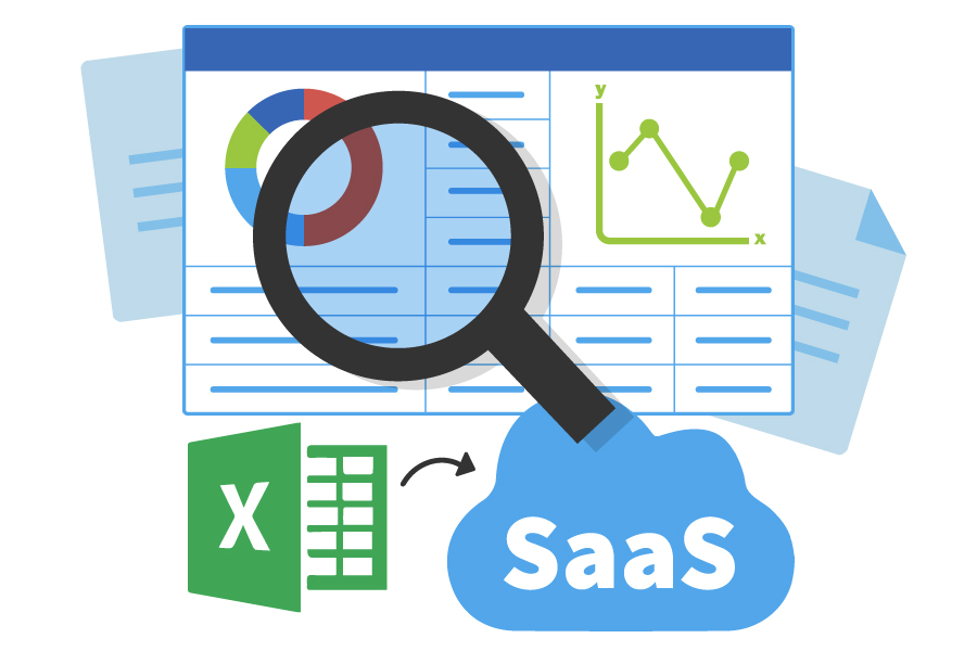
A better way to manage all those ops readings
Locus Platform is a configurable platform with standard applications that are easy to configure to customers unique requirements. One of its many strengths is its powerful form builder capable of creating simple or complex forms with simple or sophisticated logic.
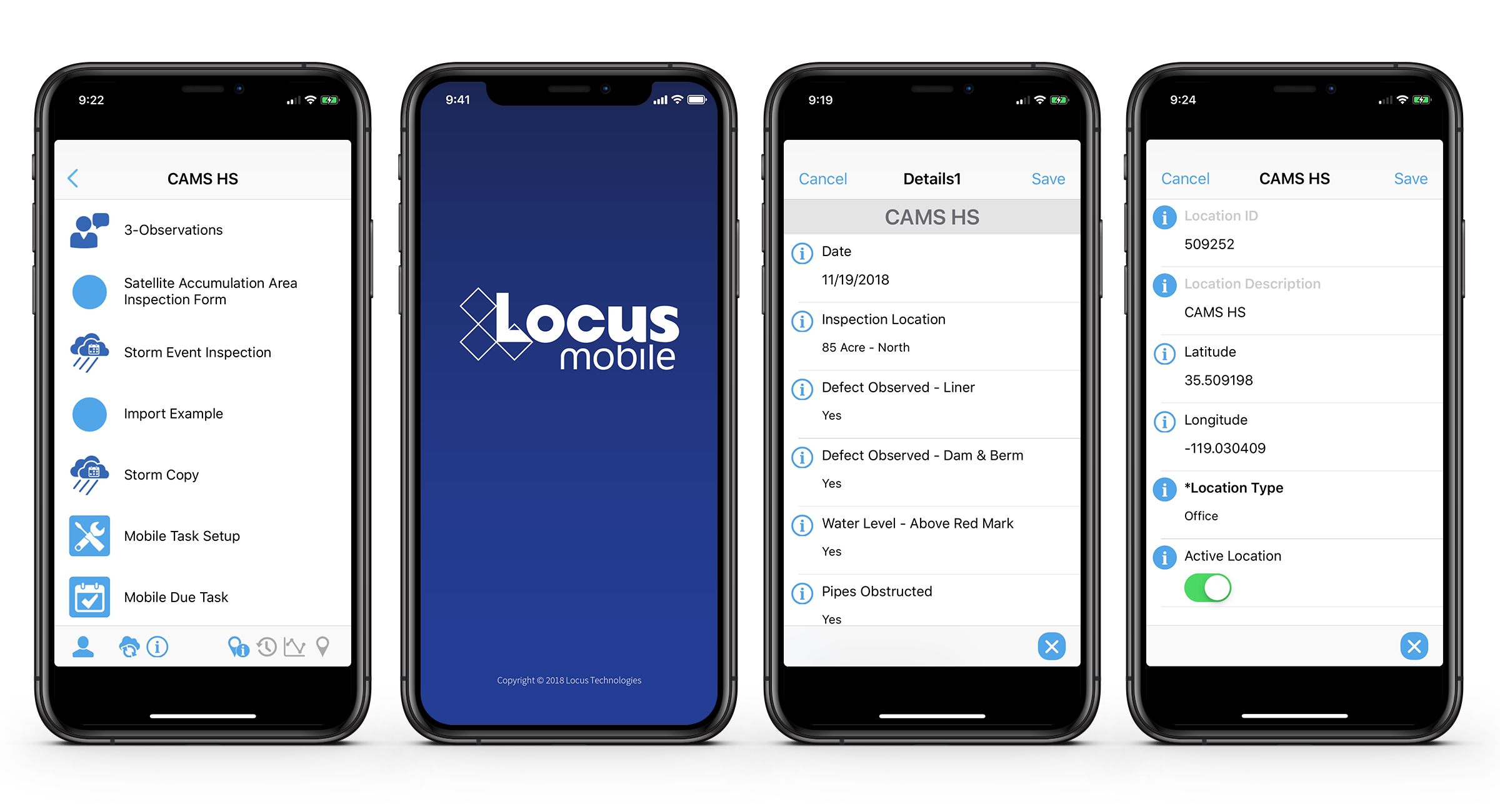
Make your O&M mobile apps work harder for you!
Mobile apps for water and wastewater operation and maintenance (O&M) activities have been around for some time now. Most users are familiar with the benefits such as instant data collection and access to reference information for better, more reliable O&M monitoring.
Simple and reliable tank emissions calculation tool for accurate reports
EPA announced that it will no longer support its TANKS 4.09D emission calculation tool. Have you been researching various software options in the market? Look no further, Locus has a reliable, easy to use, scalable replacement Tanks Emission application for you!
Simplify your EPA fenceline regulatory reporting
Locus handles all the EPA required environmental data collected at your refinery giving you a simple solution for all your data management and reporting needs.

5 time-saving tools for EHS compliance
We all know the struggle of getting things done with shortened staff without compromising the quality of our work, especially in EHS. Locus Technologies’ Locus Platform (LP) offers multiple options to ease your complexity by providing a truly SaaS platform packed with some nifty apps.
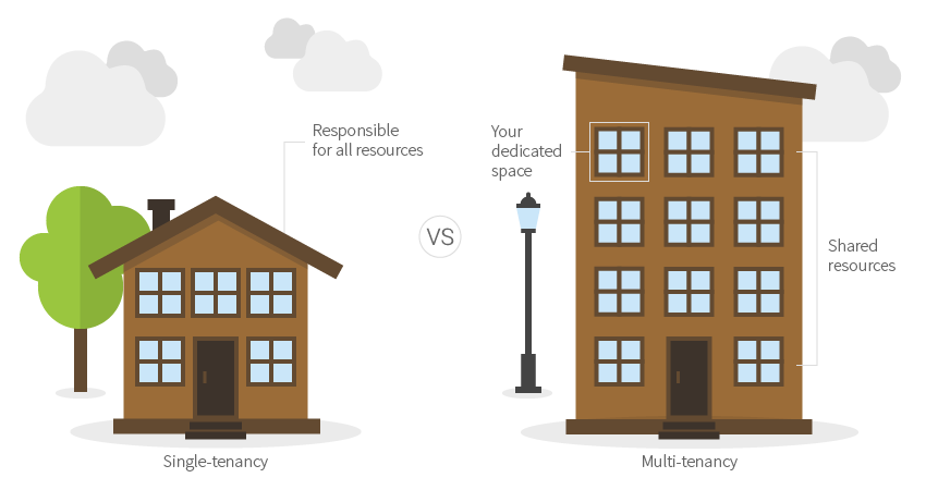
EHS software switch to multi-tenancy: Too late to switch for many vendors
For EHS compliance software multi-tenant model wins and brings lower cost and wisdom of the crowd to customers and frees them from the tyranny of software upgrades.
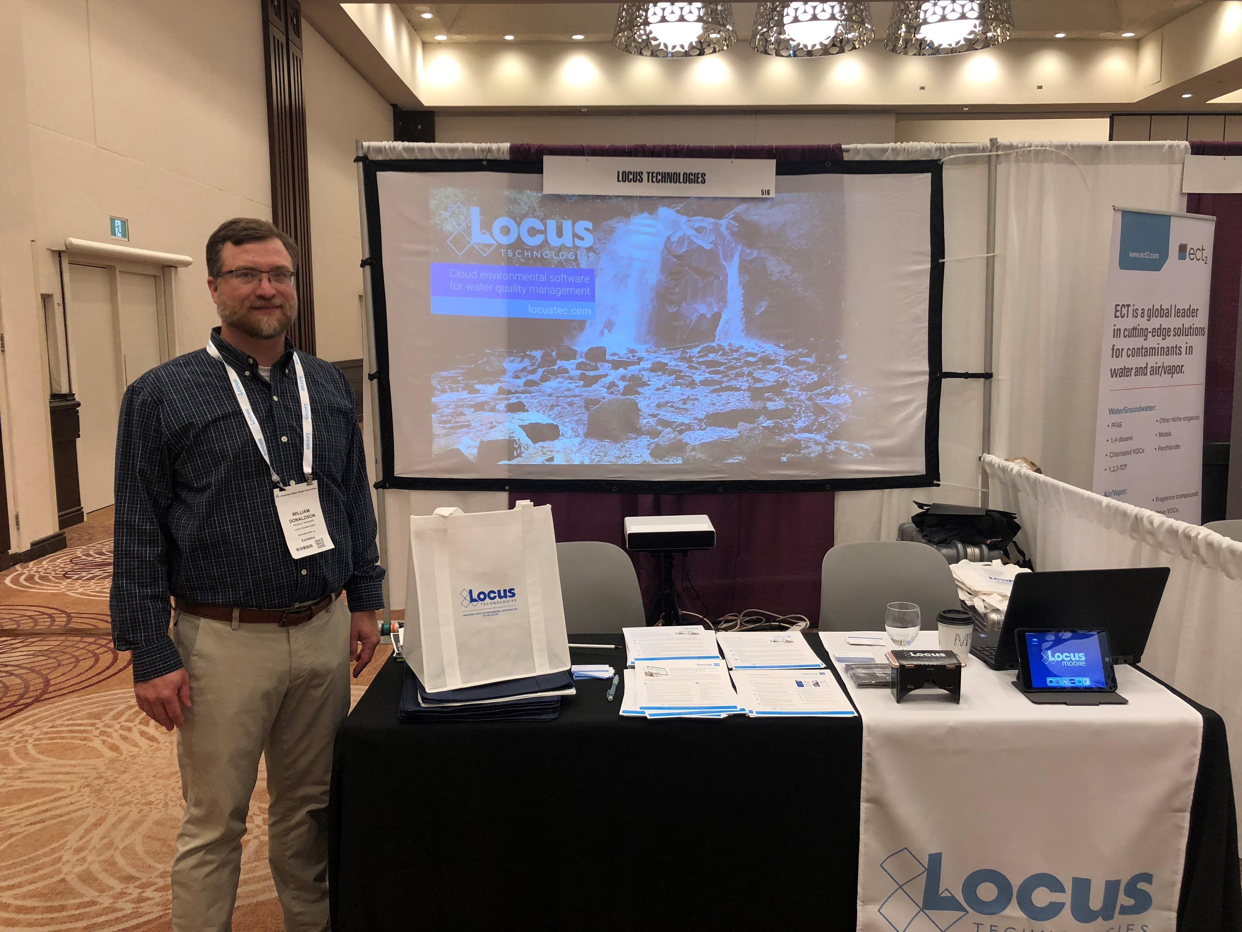
Solving water utility data management challenges—one conversation at a time
As a Product Manager, I’m usually connected with our customers by the various email and messaging systems that provide an endless amount of documentation, but nothing can substitute for an in person conversation.
