 https://www.locustec.com/wp-content/uploads/2016/01/Google-Earth-visualization-with-contour-module-output-1080p.png
1080
1920
Locus Product Team
https://www.locustec.com/wp-content/uploads/2023/12/locus_logo_2x.png
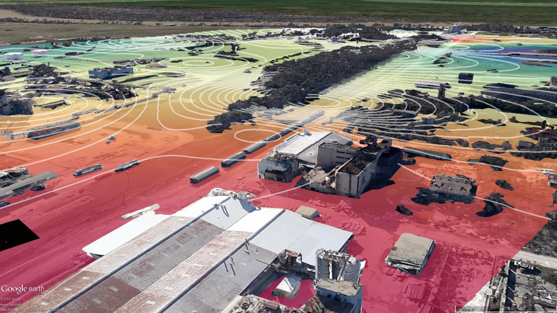
Locus Product Team2021-10-22 06:00:212025-03-17 12:37:557 Useful Visualization Tools for Environmental Management
https://www.locustec.com/wp-content/uploads/2016/01/Google-Earth-visualization-with-contour-module-output-1080p.png
1080
1920
Locus Product Team
https://www.locustec.com/wp-content/uploads/2023/12/locus_logo_2x.png
Locus Product Team2021-10-22 06:00:212025-03-17 12:37:557 Useful Visualization Tools for Environmental Management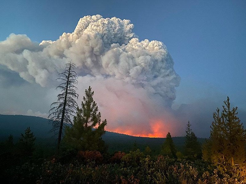 https://www.locustec.com/wp-content/uploads/2021/10/ntnl-inter-fire_800x600.jpeg
600
800
Callaway Climate Insights
https://www.locustec.com/wp-content/uploads/2023/12/locus_logo_2x.png
Callaway Climate Insights2021-10-11 07:37:512025-03-17 12:37:55Carbon Offsets Have a Huge New Problem—Wildfires
https://www.locustec.com/wp-content/uploads/2021/10/ntnl-inter-fire_800x600.jpeg
600
800
Callaway Climate Insights
https://www.locustec.com/wp-content/uploads/2023/12/locus_logo_2x.png
Callaway Climate Insights2021-10-11 07:37:512025-03-17 12:37:55Carbon Offsets Have a Huge New Problem—Wildfires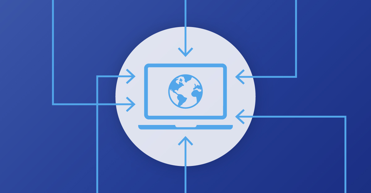 https://www.locustec.com/wp-content/uploads/2021/10/locus_graphic_6-ways-data-input-cover.jpg
627
1200
Locus Product Team
https://www.locustec.com/wp-content/uploads/2023/12/locus_logo_2x.png
Locus Product Team2021-10-06 20:37:582025-03-17 12:37:556 Ways To Get Data Into Your EHS System
https://www.locustec.com/wp-content/uploads/2021/10/locus_graphic_6-ways-data-input-cover.jpg
627
1200
Locus Product Team
https://www.locustec.com/wp-content/uploads/2023/12/locus_logo_2x.png
Locus Product Team2021-10-06 20:37:582025-03-17 12:37:556 Ways To Get Data Into Your EHS System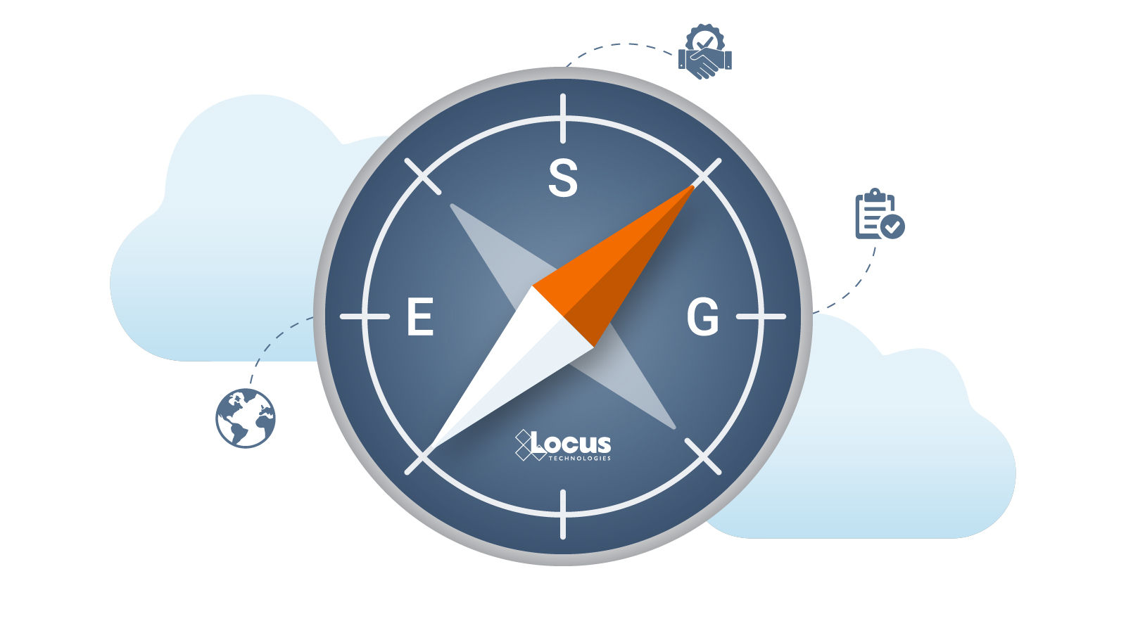 https://www.locustec.com/wp-content/uploads/2021/09/locus_graphic_navigating-esg-cover.jpg
900
1600
Nancy Mancilla, ISOS Group
https://www.locustec.com/wp-content/uploads/2023/12/locus_logo_2x.png
Nancy Mancilla, ISOS Group2021-10-04 03:00:572025-03-17 12:37:555 Keys to Navigating ESG
https://www.locustec.com/wp-content/uploads/2021/09/locus_graphic_navigating-esg-cover.jpg
900
1600
Nancy Mancilla, ISOS Group
https://www.locustec.com/wp-content/uploads/2023/12/locus_logo_2x.png
Nancy Mancilla, ISOS Group2021-10-04 03:00:572025-03-17 12:37:555 Keys to Navigating ESG https://www.locustec.com/wp-content/uploads/2021/09/locus_infographic_vapor-cover.jpg
680
1200
Locus Product Team
https://www.locustec.com/wp-content/uploads/2023/12/locus_logo_2x.png
Locus Product Team2021-09-22 18:40:222025-03-17 12:37:56Automate Your Vapor Intrusion Management
https://www.locustec.com/wp-content/uploads/2021/09/locus_infographic_vapor-cover.jpg
680
1200
Locus Product Team
https://www.locustec.com/wp-content/uploads/2023/12/locus_logo_2x.png
Locus Product Team2021-09-22 18:40:222025-03-17 12:37:56Automate Your Vapor Intrusion Management https://www.locustec.com/wp-content/uploads/2021/09/locus_photo_ESG-get-started.jpg
500
900
Locus Product Team
https://www.locustec.com/wp-content/uploads/2023/12/locus_logo_2x.png
Locus Product Team2021-09-20 04:00:062025-03-17 12:37:56Getting Started With ESG Is Less Daunting Than You Think
https://www.locustec.com/wp-content/uploads/2021/09/locus_photo_ESG-get-started.jpg
500
900
Locus Product Team
https://www.locustec.com/wp-content/uploads/2023/12/locus_logo_2x.png
Locus Product Team2021-09-20 04:00:062025-03-17 12:37:56Getting Started With ESG Is Less Daunting Than You Think https://www.locustec.com/wp-content/uploads/2020/06/pfas-map-cover.jpg
800
1200
Locus Product Team
https://www.locustec.com/wp-content/uploads/2023/12/locus_logo_2x.png
Locus Product Team2021-08-30 04:00:422025-03-17 12:37:56PFAS Drinking Water Regulations by State
https://www.locustec.com/wp-content/uploads/2020/06/pfas-map-cover.jpg
800
1200
Locus Product Team
https://www.locustec.com/wp-content/uploads/2023/12/locus_logo_2x.png
Locus Product Team2021-08-30 04:00:422025-03-17 12:37:56PFAS Drinking Water Regulations by State https://www.locustec.com/wp-content/uploads/2021/07/locus_graphic_greenwashing.png
780
1200
Locus Product Team
https://www.locustec.com/wp-content/uploads/2023/12/locus_logo_2x.png
Locus Product Team2021-07-19 17:00:022025-03-17 12:37:56Combat Green Skepticism with Accurate ESG Data
https://www.locustec.com/wp-content/uploads/2021/07/locus_graphic_greenwashing.png
780
1200
Locus Product Team
https://www.locustec.com/wp-content/uploads/2023/12/locus_logo_2x.png
Locus Product Team2021-07-19 17:00:022025-03-17 12:37:56Combat Green Skepticism with Accurate ESG Data https://www.locustec.com/wp-content/uploads/2016/11/locus_graphic_perfect-app_1000x800.png
800
1000
Locus Product Team
https://www.locustec.com/wp-content/uploads/2023/12/locus_logo_2x.png
Locus Product Team2021-07-09 07:36:342025-03-17 12:37:57No-Code Application Development
https://www.locustec.com/wp-content/uploads/2016/11/locus_graphic_perfect-app_1000x800.png
800
1000
Locus Product Team
https://www.locustec.com/wp-content/uploads/2023/12/locus_logo_2x.png
Locus Product Team2021-07-09 07:36:342025-03-17 12:37:57No-Code Application Development