Locus Technologies Implements Environmental Industry’s First Scalable Vector Graphics-Based Geographic Information System
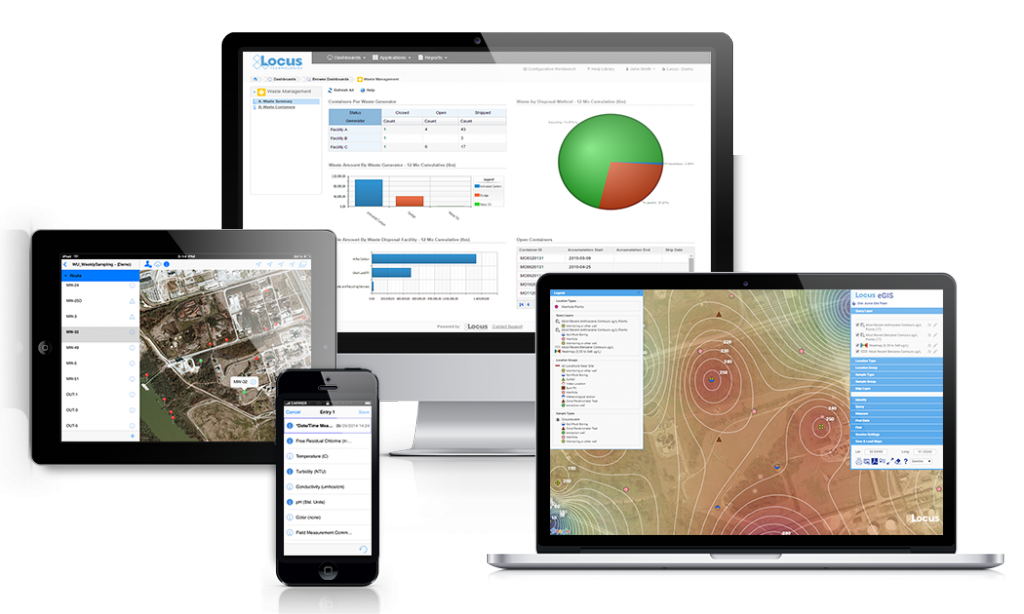
SAN FRANCISCO, Calif., 1 December 2001 — Locus Technologies (Locus), a global leader in environmental information management, today announced it has released the first version of a web-based Geographic Information System (GIS) for its award-wining LocusFocus suite of Internet technologies. The system allows users to see a map of a site, click on a well on the map, and obtain chemical and water level information for that well, including a log, if one exists. Data can be displayed in tables or graphs, posted on the map, or downloaded. Such capabilities and features represent only a starting point. Locus also intends to expand capabilities into contouring, animation, and 3D visualization. What is exciting about this new development is that it is entirely based on a new Web graphics format and XML-based language called Scalable Vector Graphics (SVG).
SVG offers many benefits. Foremost among these is that it is not a proprietary technology. Rather, it has been developed as an open, vendor-neutral specification by the World Wide Web Consortium (W3C). Companies who have contributed to the specification include Microsoft, IBM, Hewlett-Packard, Autodesk, Apple, AOL, Sun, Adobe Systems, and Macromedia. SVG is compatible with other Web technologies like HTML, Cascading Style Sheets (CSS), Javascript, Document Object Model (DOM), and Java. As such, rich user interfaces and dynamically-generated, data-driven graphics can be easily developed. Because SVG is a vector format, images download faster, and users can zoom in on a section of a map or graphic without any loss of resolution and without having to reload the image. This is of particular importance for the environmental industry that deals with large amounts of information. Lastly, because it is entirely text-based, users can search for text (such as a well ID or a contaminant name) within the SVG image itself.
Traditional GISs, especially web-based versions, are expensive to purchase and difficult to implement. Most require extensive, time-consuming custom development. Personnel with the necessary experience and expertise are in scarce supply, in contrast to the number of programmers familiar with HTML, Javascript, and other common Web-based tools and languages. Those organizations that require sophisticated, enterprise-wide GIS functionality can justify the cost and complexity of implementing a GIS Internet Map Server (IMS). Most, however, cannot. Moreover, the vast majority of interactive Internet maps for the environmental industry don’t need to offer anything close to this level of functionality.
“The complexity and cost of traditional GIS software is amazing—even after all these years,” says Neno Duplancic, President and CEO of Locus. “In contrast, interactive, map-based systems using SVG can be developed in a fraction of the time and, as a result, for less money. SVG will form the foundation for all the graphics and GIS work that Locus will be undertaking in the near future. Most other consulting companies are either stuck with outdated approaches or have no GIS capabilities at all. We hope to seize this opportunity and make Locus an industry leader in applying this new and exciting web-based technology to the graphical display of environmental information.”
LocusFocus is a multi-channel, dynamic Web portal that provides for all aspects of environmental site management. LocusFocus has the potential to bring the benefits of Internet technology to the environmental industry and, as such, eliminate the many inefficiencies and incompatible technologies that afflict the industry.